- Having one of the most modern and complete geophysical exploration equipment, the Institute of Geodynamics is a leading player in Greece in conducting geophysical surveys on highly important projects with a great impact on the development, culture and security of citizens.
- With a central role in landmark projects for the development of the country, such as the skyscrapers of the Hellenikon Metropolitan Park, the Attica Metro, the foundation of dams, large industrial units, wind farms, hospitals, etc., the geophysical team of the Geodynamic Institute is still developing internationally by participating in energy resources exploration and seismic monitoring in oil fields.
Geophysical Surveys
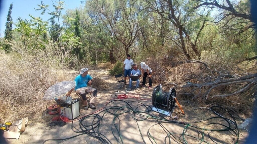
Snapshot from a Crosshole testing application on 100-meter-deep boreholes at the Marina Tower site, Hellenikon Metropolitan Park. The Deputy Director of the Geodynamic Institute and head of the Geophysical Research team, Dr. V. K. Karastathis together with his direct collaborators and members of the team, Dr. A. Mouzakioti, Sp. Liakopoulos MSc and K. Kontako MSc. Even in deep drilling, at extremely high geostatic pressures, the team achieves excellent signal recording.
The Institute of Geodynamic is present in milestone projects for the development of the country for the new decade, such as the towers of the Metropolitan Park and the new hospitals of the Stavros Niarchos Foundation. The two projects were carried out in collaboration with the company Edafomechaniki.
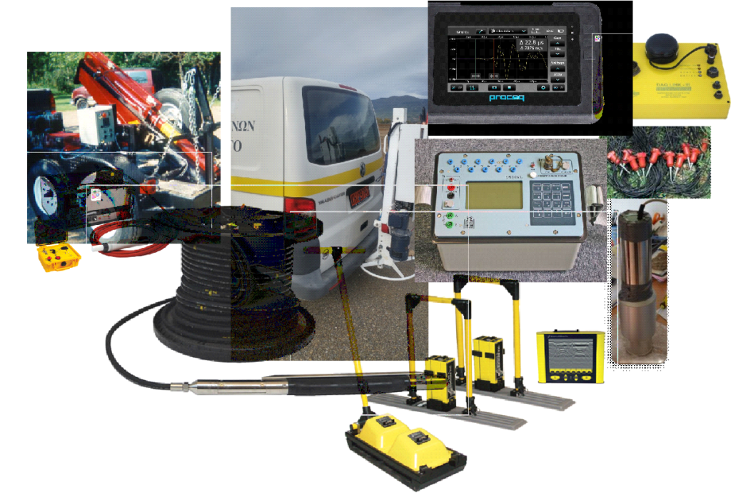
NOAIG equipped with the most modern geophysical survey instruments
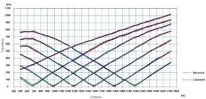
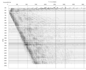
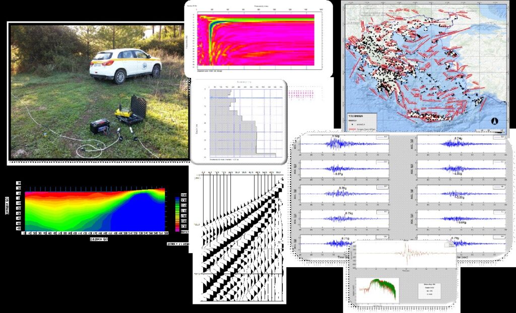
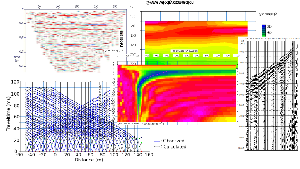
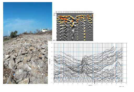
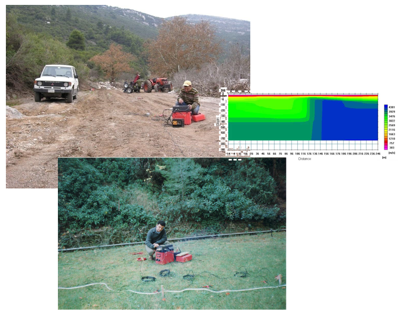
- Multichannel seismographs with hundreds of geophones and kilometers of seismic cables for seismic surveys of reflection, refraction and surface waves.
- Heavyweight seismic source of accelerating weight drop capable of supporting geophone developments of more than 2.5 km. Lightweight seismic source of accelerated weight drop for use in geotechnical surveys.
- Very large number of portable seismographs and borehole seismometers to support passive seismic tomography (local earthquake tomography).
- Complete equipment for downhole and crosshole testing even for very deep borehole applications.
- A very modern system of electrical resistivity tomography.
- Ground Penetrating Radar of the last technology with antennas of all possible frequencies and also with borehole antennas for crosshole tomography.
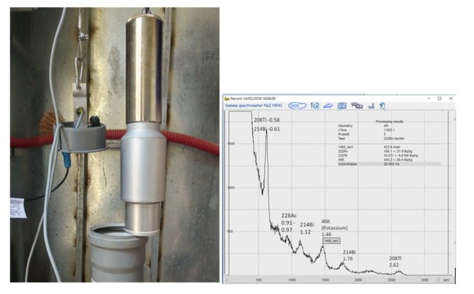
- Scintillation detectors for gamma-ray spectrometry and alpha-particle stations.
- Ultrasonic system for laboratory measurements of the seismic velocities and other properties of drill core samples.
- The supply of equipment was done through research projects and contracts.
- The purchase of magnetometers, gravimeters, distributed acoustic sensing (DAS), etc. has already been planned.
Applied Geophysics - Applications of the Institute of Geodynamics
Civil protection
- Investigation of active faults, Foundation soils Characterization, Microzonation studies, Seismic risk assement (schools, hospitals, etc.), Early warning systems, Study of geophysical seismic precursors
Culture
- Protection of monuments – museums
- Protection of traditional settlements
- Archaeological prospecting
Development of economy
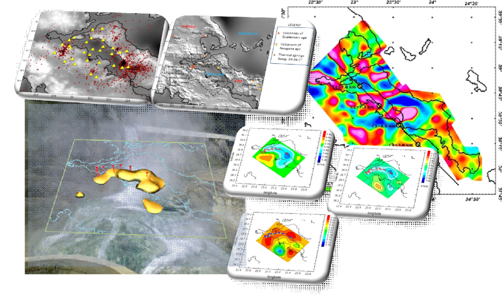
- Geothermal fields, deposits, energy resources, aquifers
- Foundation of large constructions, wind farms, locating cavities, unsuitable soils, faults.
- Safety of large constructions, safety of pipelines
Investigation of active faults
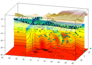
- By conducting seismic lines even in the most rugged areas of Greece, the Institute of Geodynamics has depicted even at great depths important active structures such as the faults of Atalanti, Sparta, Yaltra, Thrakomakedones, Arfara, Arkitsa, Ag. Konstantinos, Diminio, Rigaeo, Heraklio, Drama etc.
V Karastathis, E Mouzakiotis – Combined onshore and offshore seismic investigations image fault structure at the geothermal field of Aedipsos-Yaltra, central Greece. first break, 2014
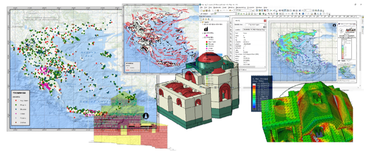
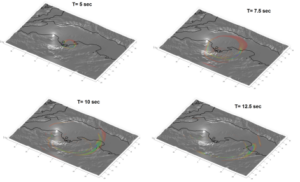
Faults – Modeling od seismic ground motion – Seismic Hazard Assessment
The Institute of Geodynamics has conducted numerous surveys to study the seismic response in different cities of the Greek region such as Heraklion, Nafplion, Igoumenitsa, Volos, Edipsos, Sparta, Drama, Thrakomakedones etc. but also for important projects such as gas pipelines.
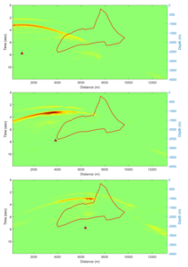
Void detection
Applications in wind farms, Metro subways, etc.
Geophysical surveys for foundation study and safety testing of dams
Gamma-ray measurements for soil radon concentration - Study of earthquake precursor phenomena
A long research aims to organize a reliable dataset using the most modern measuring and analysis techniques of soil radon concentration. Changes in radon concentration have been proposed in the literature as a precursor to earthquakes. The work so far has presented a series of invited talks at conferences larger space (IUGG, AGU, JpGU). The installed measurement systems today are 8 and in a short period of a few months, they will exceed 10. The first phase of the research has been completed and the final results will be presented soon.
Contribution to culture
- Creation of a digital database of 3000 monuments with spatial information and seismic hazard assessment for monuments – museums for 230 seismic sources in Greece.
Non-destructive testing of selected monuments monuments and seismic response testing by simulation techniques.
Archaeological prospecting
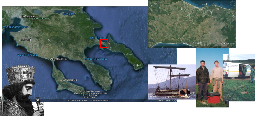
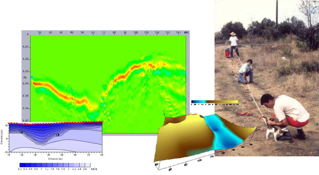
- The detection of the Ancient Canal of Xerxes. Herodotus was confirmed by the results of geophysical research.
- Collaboration with British School of Archeology, archaeologists from British Universities, University of Patras, University of Thessaloniki, etc.
- Karastathis, V. K., Papamarinopoulos, S., & Jones, R. E. (2001). 2-D velocity structure of the buried ancient canal of Xerxes: an application of seismic methods in archaeology. Journal of applied geophysics, 47(1), 29-43.
- https://www.nytimes.com/2001/11/13/science/persian-canal-discovery-is-testament-to-ancient-engineering-skills.html
Figure above Dr V.K. Karastathis with the British archaeologist of Glasgow University Dr. R.E. Jones.
Applications in geothermal fields
Software development
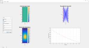
- Software development for joint 2D tomography between seismic and georadar crosshole data (ray-based joint inversion). GUI development for automated processing of tomographic data and 2D-3D presentation of results.
1. Geophysical research at EAA is primarily focused on humans and the needs of society.
2. The study of earthquake precursors is one of the priorities of the Institute of Geodynamics with worldwide collaborations in America, Russia, Japan and Europe
3. NOA undertakes projects of critical importance to the economy and society. This is not just the development policy of the research center but its debt to the country and its people.
Last Projects
- HELPOS (https://www.helpos.gr/)
- ARIS (Presentation of an early earthquake warning system at a conference at the National Hellenic Research Foundation)
- INFRASTRESS (https://www.infrastress.eu/)
